Violation: excavations in a Palestinian archeological site
Location: Deir Sam’an- Salfit
Date: November 12, 2015
Perpetrators: Lashem and Eli Zahav colonists
Victims: residents of Kfar Al-Dik village
Details:
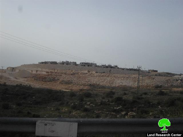
The Israeli occupation machineries are carrying out non-stop ravaging and excavation works over an area of 150 dunums in the archeological site of Deir Sam’an in Salfit governorate. According to the field follow-up of Land Research Center on the area, the intensive works are believed to take place for the favor expanding Eli Zahav colony from the western side in addition to Lashem outpost, which is increasingly expand in number of residential units.
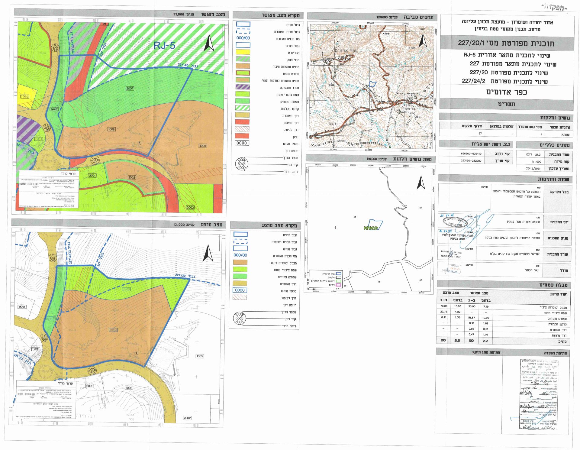
It should be marked that the so-called Colonization Sub-Committee-Israel Civil Administration has previously deposited a master plan for Eli Zahav colony at the expense of Deir Sam’an on November 2015. The plan was featured in a newspaper and was open for public objections within a 60 day deadline.

Photo 1: the area of Deir Sam’an

A crime of no punishment
Deir Saman is an archeological site holding several Roman ruins; it is located in an area classified 'C' according to Oslo and it has been inaccessible for years due to its closeness to Eli Zahav and Lashem colonies. Traces showed the presence of a Roman city that was there 1500 ago in addition to signs from the Islamic and Farsi eras that ruled the area back in time.
The area of Deir Saman was declared a closed military zone, inaccessible for Palestinians. This encouraged the Israeli Occupation Authorities and colonists to excavate the ruins looking for artifacts. They went further by transporting some of the ruins and the things they had found into the nearby colony; they even used the old rocks that were used for construction to construct houses in the colony in an attempt to find a historical linkage with the colony.
It should be marked that international convections and laws prohibit changing the landmarks of any archeological site in occupied lands. Colonists and their government have no respect to such laws. On the contrary, colonists have been stealing and destroying such sites under the watchful eye and protection of the occupation forces.
Kafr ad Dik [i]
Kafr ad Dik is located 15 km to the west of Salfit. It is surrounded by Bidya (north), Rafat and Deir Ballut (west), Bruqin and Sarta (east), and Bani Zaid villages (south). Kafr ad Dik has a population of 4553 people, according to a 2007 census. Its total area is 15529 dunums; however, it has been suffocated by bypasses and 3 Israeli colonies that lay over its lands.
This has further limited its expansion knowing that it had already had a 791-dunum organizational plan (built-up area); it also isolated the village from its surroundings
The Israeli occupation confiscated 2477 dunums of Kafr ad Dik lands for the benefit of:
- Colonies devoured 1225 dunums, and they are:
|
Name of colony |
Year of construction |
Area of confiscated land/ dunum |
Number of colonists |
|
Har Eli Zahav |
|
|
|
|
Eli Zahav- Yoezer |
|
|
|
|
Bedoel |
|
|
|
|
|
|
|
|
|
|
|
|
|
*Source: Field Research- Monitoring Israeli Violations Team- Land Research Centre (LRC).
- Bypasses stole 362 dunums
- The Apartheid Wall seized 890 dunums and isolated 8824 dunums and is expected to be 8905 long in Kafr ad Dik lands.
Lands of Kafr ad-Dik are categorized according to Oslo Accords into lands under Area B (15% of the lands) and lands under Area C (85% of the lands).
i] Source: Geographic Information System- Monitoring Israeli Violations Team- Land Research Center
Prepared by
The Land Research Center
LRC