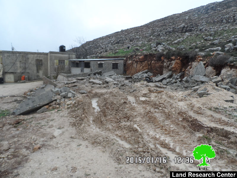
Violation: demolition of a barrack
Date: 14/01/2015
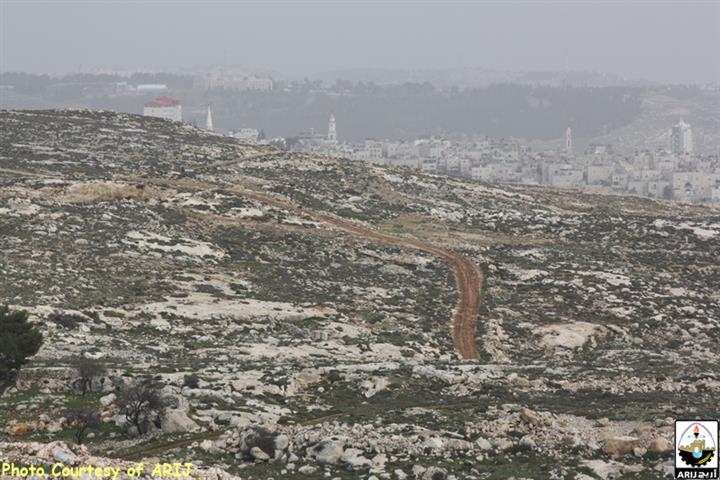
Location: Deir Jarir village/ Ramallah
Perpetrators: Israeli occupation army
Victims: citizen Tareq Kabana
Details:
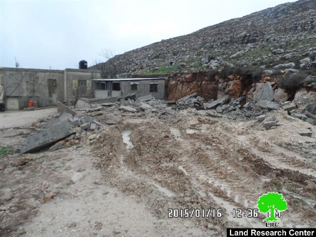
A massive force from the Israeli occupation on January 14, 2015 raided the eastern side of Deir Jarir village and embarked on demolishing a agricultural barrack (made of metal slaps and block); the barrack is located on the main way linking Deir Jarir to Kfar Malik village northeast Ramallah.
The barrack belongs to citizen Tareq Kabana ; the agricultural barrack was of 42m2 in area. The occupation claimed the structure unlicensed within area classified C according to Oslo Accords.
The following table shows information about the affected citizen and the structure:
|
Affected citizen |
Family |
Minors |
No. of sheep |
Nature of structure |
Photo |
|
Tareq Kabana |
9 |
4 |
60 |
Metal slaps and blocks 25m2 |

An agony that never ends:
It should be marked that the area of Palestinian Jordan Valley al-ghoor is undergoing an occupational plan to displace all indigenous inhabitants forcefully to take over the whole area.
Citizen Tareq Kabana told Land Research Center the following:
"until today, we have been living a hard life full of hazards and continuous targeting by the Israeli occupation; we have been displaced from the Negev area in 1948 to the area of al-Auja, north Jericho. The occupation demolished our barns several times during 1990s; in 2004, the occupation came and destroyed our tents and barns in the area of Fasayil al-Fauqa. Today, the occupation demolished my sheep barn; I don’t know where to go for I was targeted everywhere I went to".
It should be marked that citizen Kabana received a stop-work on his barrack in 2014 by the occupation claiming the structure built without a permit.
Noteworthy, Colonists targeted the village of Deir Jarir by torching a agricultural land last year. For more details, please read the report issued by Land Research Center in this regards.(Ar, Eng).
About Deir Jarir :
The village is located 12km to northeastern side of Ramallah governorate; it is edged by the villages of eastern farm and Kfar Malik from the north, Silwad village from the west, Kokhav HaShahar colony from the east and al-Taiba village from the south .
The village has a total population of 5140 people (2014) and a total land area of 33,332 dunums, of which 793 dunums are the built-up area. The Israeli occupation confiscated a vast area from Deir Jarir lands as follows :
- 1358 dunums were confiscated for the favor of Kokhav HaShahar, which was established in 1977 and is inhabited by 1367 colonists.
- 1124 dunums were confiscated for the favor of the colonial bypass roads no. 449 and 458.
The village ,according to Oslo Accords , is classified as follows:
- Area B: 4906 dunum.
- Area C: 28426 dunums; classification C means that lands are under the full control of Israel.
Prepared by
The Land Research Center
LRC


