Violation: burning down two cars
Date: 19/11/2013
Location: Faraata village/ Qalqiliya
Perpetrators: the outpost of Givat Gilad
Victims: citizen Bahjat Salman
Details:
The village of Faraata , 16 km east of Qalqiliya has recently witnessed wide-range systematic attacks carried out by colonists on the village residents, trying to bring down the Palestinian dignity and determination.
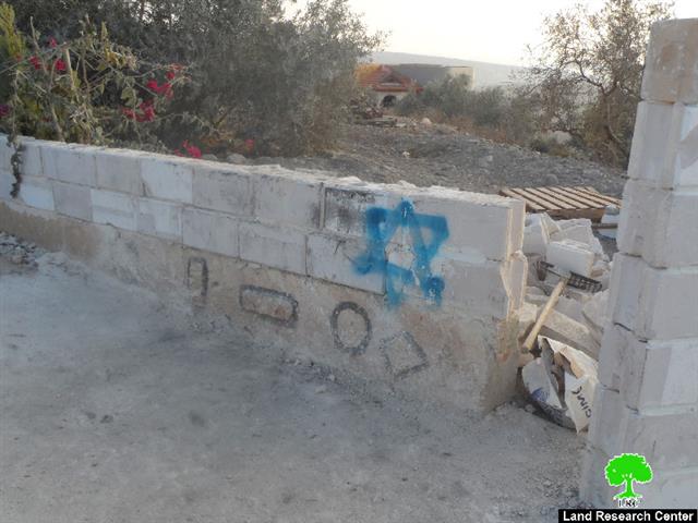
On November 19th 2013, a group of right-wing colonists of "Price taggers" from the outpost of Givat Gilad set fire to two cars and wrote hatred-inciting slogans on the walls of citizen Bahjat Salman's house. It should be mentioned that the members of Price taggers gang used diesel to set fire to the 1995 Volvo that has been partially damaged. A neighbor managed to extinguish the fire after noticing the flames arising.
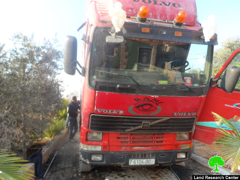
Photos 1+2: the attacked truck
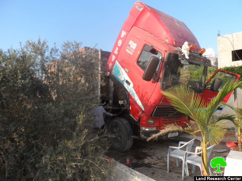
Not only that, colonists set fire to a 2002 Mercedes causing a total damage and burn down using diesel as means of torching.


Photos 3+4: the 2002 Mercedes that was totally burned down
In the same context, it was indicated that the colonists wrote hatred-inciting slogans on Salman's house including the David star and the logo of Price taggers gang.
It should be marked that the extreme colonists of Price taggers have been, since three years, organizing frequent attacks on the rural Palestinian communities, more specifically in the areas of northern West Bank. The carried out violations and attacks reached out human, animals, crops, and even worshiping places. Noteworthy, such attacks were done in conjunction and under the protection of the Israeli occupation itself.
About Faraata:
It is located 20km east of Qalqiliya. The village is edged by Jit village from the north, and Amatin village from the west, Tel village from the east and Amatin from the south.
Faraata's total population reaches up to 642 people until 2007 where the land area totals around 1675 dunums of which 84 dunums are built-up area.
The segregation wall(690m in length) destroyed and ravaged around 67 dunums as for its construction path.
The village lands are classified as area (B&C) according to Oslo Accords. Area classified B represent 90% where area classified C represents 10% of the total land area. The percentage in dunums is explained as follows:
- 1493 dunums are classified as area B
- 164 dunums are classified as area C
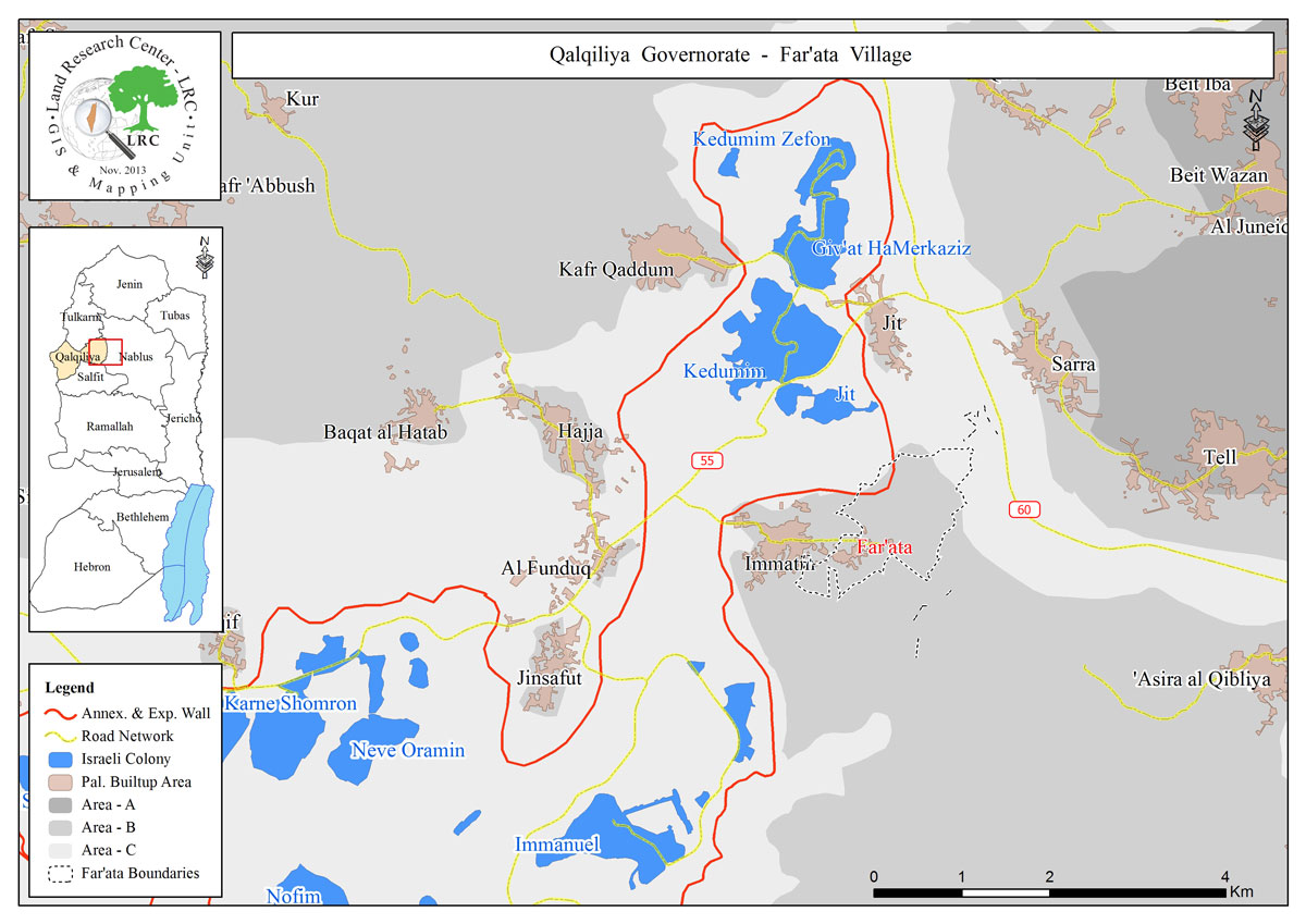
Map 1: the geographical location of Faraata and its lands classification
Prepared by
The Land Research Center
LRC