Violation: confiscation order for 877 dunums of Palestinian lands.
Location: Awarta, Beit Furik and Rujib villages – Nablus.
Date: June 2, 2013.
Details:
On June 3, 2013, the Israeli Occupation Authorities handed the Civil Coordination Office confiscation order T/3/13 which called for the confiscation of 63 dunums in Awarta, Rujib and Beit Furik villages. Picture: order T/3/13 and the enclosed map
 |
|
According to the map, the order targets four different sites that surround Itmar colony. After careful consideration, the GIS Unit at LRC found that the targeted area is actually 877 dunums and not 63 as was mentioned in the order.
|
Picture: map showing the actual threat
Head of Awarta Village Council remarked: "the Israeli orders are a reflection of the colonial expansion plans; the targeted lands have been inaccessible since 2000 except for certain times in certain days of the year and subject to Israeli clearance. The Israelis claim that the lands were confiscated for security reasons; however, it is clear that these lands are to be used in Itmar colony expansion".
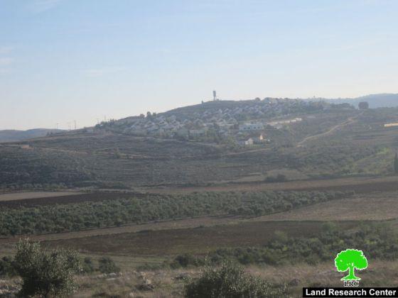
|
Picture: Itmar
It is noteworthy that the lands are property of the people of the three villages who have deeds proving their ownership.


