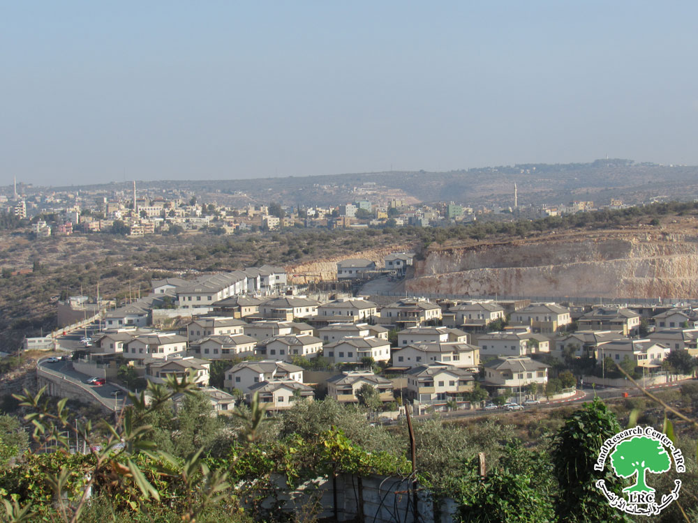
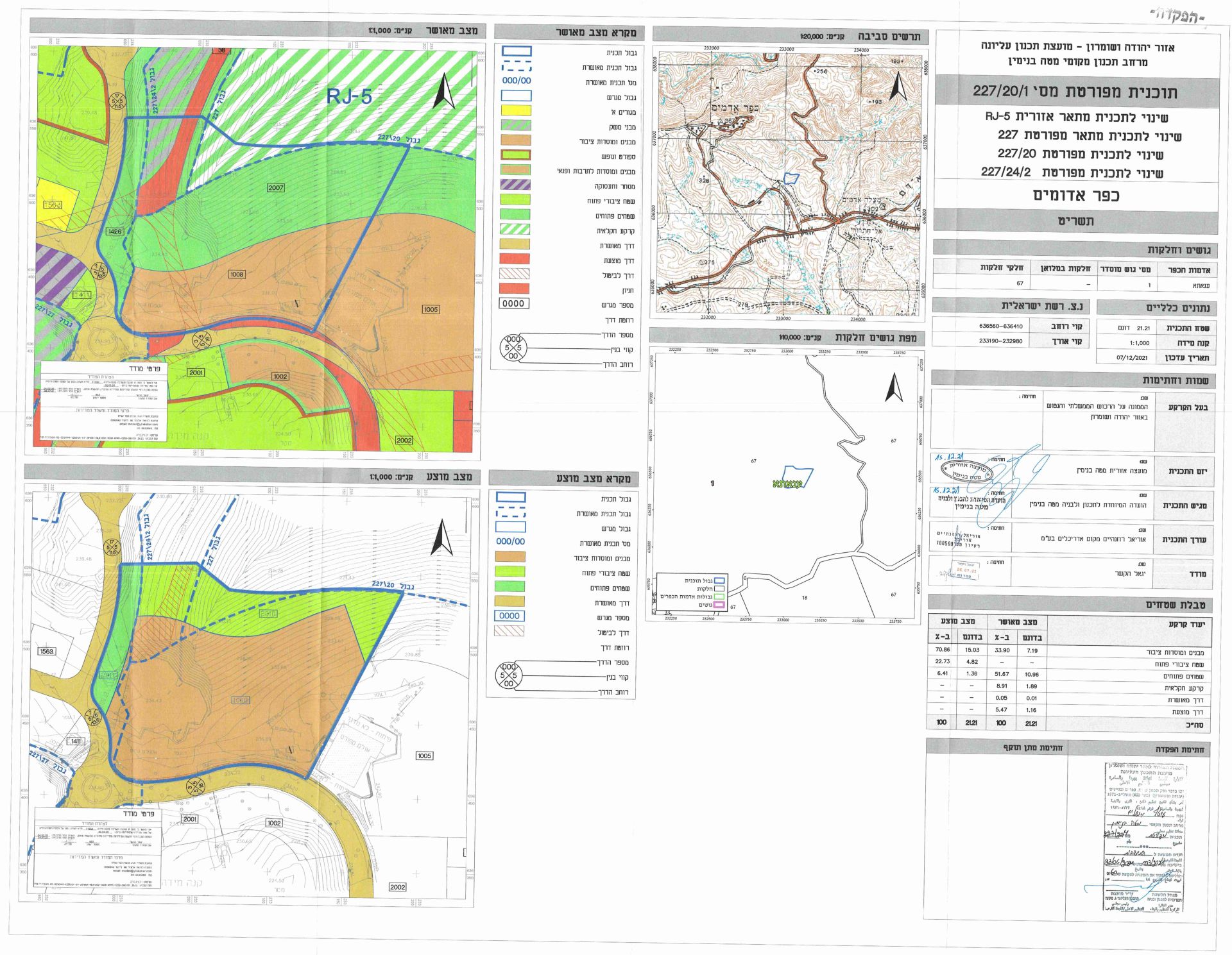
The coalition of pro-Israel organizations in Jerusalem city in cooperation with the Environment Protection Company in occupied Jerusalem city published a new scheme, which calls on Jerusalem Municipality and the Israeli Ministry of Housing and Construction to sanction a plan to build 4700 new housing units in the vicinity of Ramat Rachel kibbutz, south of Jerusalem city, beyond the 1949 Green Line (Armistice Line); inside the Occupied Palestinian Territory (OPT).
Both the coalition and the environment protection company see eye to eye on the vitality of the proposed project; and while the first claims that the project’s objective is to provide new housing for young Jewish couples who seek new homes, the second argue the project’s aim to cope with the housing problems faced by the Israeli citizens. Both sides justified the selection of the aforementioned area as a response to the rejection of Safadi plan, which designed the development towards the western side of Jerusalem. However, as the plan was canceled, the intention of the Planning committee at the Israeli municipality of Jerusalem became evident, which is to expand the city towards the eastside, mainly on the expense of Palestinian owned lands. The plan also aims to create physical and structural contiguity between East Jerusalem settlements and Jewish neighborhoods in West Jerusalem, which undoubtedly would hamper any future separation between the two sides and undermine the possibility of developing Palestinian Urban Expansion in the city of Jerusalem. In addition, the plan seeks to generate a Jewish majority in the city to alter its future.
Building of 4700 Units Plan: –
According to Israeli planers, the development plan of Kibbutz Ramat Rachel does not conflict with the Israeli municipal plan for South-East Jerusalem within the inclusive 'Jerusalem 2020' plan, which sanctions construction in the area of Kibbutz Ramat Rachel.
The plan’s total area covers 1558 dunums, of which 1,435 Dunums (92%) will incorporate the planned housing units, as for the remaining 317 Dunums; it is the current standing built-up area of Kibbutz Ramat Rachel.
The Plan’s location:
The Christian monastery of Mar Elias and Har Homa settlement stand at the proposed development area’s south side. At the eastern side sets the Palestinian community of Sur-Baher. To the north, stand Arnona neighborhood, Armon Hantzeve, and East Talpiot settlements. West of Kibbutz Ramat Rachel is a run of Jerusalem-Hebron Street. See Map 1
Source: ARIJ – GIS unit
Land ownership:
According to the Israeli planers, most of the targeted location for development (24 %) is a state land, which means that the land has been subject to confiscation from Palestinians under the Israeli Absentee Property Law of 1950. Table one and Map 2 below lists the ownerships of the targeted land for development according to the Israeli planers. See Table 1 & Map 2
|
Ownership |
Area – Dunums |
% out of total area |
|
State land |
383 |
24 |
|
Jewish National Fund |
816 |
51 |
|
Jerusalem Municipality |
72 |
4.5 |
|
Jewish National Fund (Confiscated) |
7 |
0.47 |
|
Private |
137 |
8.6 |
|
Orthodox Patriarchate |
96 |
6 |
|
No Data |
75 |
4.7 |
|
Total |
1588 |
100 |
Resource: sustainable-Jerusalem.org
Source: ARIJ – GIS unit
The development scheme as set by the Israeli planners is set to build 4690 housing units and commercial center on 717 dunums, in addition to 250 hotel rooms and offices on an area of 31 Dunums. Furthermore, the plan is to include 352 dunums of parks and open space areas, and 56 dunums of roads. Table 2 below illustrates current land use and proposal land use with proposed housing units and other facilities. See Table 2
|
Site |
Current classification of the land |
Proposal classification |
Area -Dunums |
No. of Housing units/ Dunum |
Total No. of Housing units |
|
Residential (A) |
Agricultural |
Residential |
206 |
12 |
1,100 |
|
Residential (B) |
Agricultural |
Residential |
134 |
20 |
900 |
|
Residential (C) |
Agricultural |
Residential |
135 |
20 |
1286 |
|
Residential (D) |
Forest |
Residential |
225 |
17 |
1,118 |
|
Residential (E) |
Agricultural |
Residential |
11 |
16 |
78 |
|
Mall |
Agricultural |
Residential |
6.25 |
33 |
208 |
|
Total |
|
|
717 |
|
4,690 |
|
Hotel |
Agricultural |
Hotel |
25 |
|
250 Room |
|
Offices |
Agricultural |
Offices |
6 |
|
|
|
Overall Total |
|
|
748 |
|
|
Resource: sustainable-Jerusalem.org
Open spaces and Parks:
|
Site |
Current classification of the land |
Proposal classification |
Area -Dunums |
|
Parks |
Agricultural land |
Parks |
239 |
|
Forest |
Forest |
Forest |
22 |
|
Open Spaces |
Agricultural land |
Open Spaces |
57 |
|
Tourist sites |
Agricultural land |
Tourist sites |
28 |
|
Antiques Parks |
Open space |
Antiques Parks |
6 |
|
Total |
|
|
352 |
Resource: sustainableJerusalem.org
The danger of the plan:
The development scheme endeavors represent the missing link, which in its turn will close of the gap in the belt of Israeli settlements along the southern side of occupied East Jerusalem. The planned construction of Kibbutz Ramat Rachel will work to connect the settlements of Har Homa, Gilo, and Giv’at Hamatos with East Talpiot settlement. On the other hand, the planned illegal Israeli construction at Kibbutz Ramat Rachel will lead to the separation and isolation of the Arab communities of Sur-Baher and Um-Tuba in East Jerusalem from their natural extension. Effectively, the development plan will form a physical barrier between the southern West Bank and East Jerusalem, which comes as a part of the overall Israeli plan to isolate Jerusalem fro the West Bank and break the physical contiguity of the West Bank. See Map 3
Furthermore, the new Israeli development scheme of Kibbutz Ramat Rachel to provide new housing units for Jewish young couples, act in accordance with the Israeli led demographic war against the Palestinian Jerusalemites, which aim to maintain Jewish majority in Jerusalem; particularly occupied East Jerusalem. This comes under the overall goal of the Israeli municipality to drain Jerusalem of its Arab-Palestinian population or at the least maintain their existence at a marginal level.
What is happening in the Israeli Kibbutz (settlement) Ramat Rachel is just another episode of the long dragged, ongoing – know 41+ years – Israeli occupation that adopted a clear and determined colonization project in the West Bank, especially in and around East Jerusalem. To this end, the consecutive Israeli governments imposed restrictions on the Palestinians’ development in Jerusalem at every aspect of their lives: economically, socially, urban wise, among others. The following are some of the procedures the consecutive Israeli government pursued to hinder Palestinian neighborhoods urban development:
1. Land confiscation
2. Impose restrictions on land use such as building codes and regulations
3. Constructing Israeli settlements and bypass roads
4. Segregate Jerusalem from the rest of the occupied Palestinian territory
5. Impose selective zoning classifications when it comes to Arab lands
To conclude:
Measures’ leading to major demographic shifts in occupied East Jerusalem is part of a long adopted Israeli policy staged by Israel in order to create an exclusive Jewish population in occupied East Jerusalem. Israel has adopted strategies to restrict and control the natural expansion of the city's Palestinian communities, and thus creates de facto realities on the ground. These de facto realities are clearly affecting the outcome of the final status negotiations on Jerusalem in Israel's favor, which is in total violation to United Nations' resolutions, particularly 298, 465 and 242, as well as standing Palestinian-Israeli Oslo Accord.
A thorough investigation of the current Israeli activities in and around East Jerusalem reveals that a systematic and premeditated plan is in effect, which aims to strangulate the Palestinian city, separate it from the West Bank, and most of all to manipulate the geographical demographical features and characteristics of the city. The intensity and multi-location of the Israeli activities is a clear evidence of Israel's persistence to change the physical and demographic structure of occupied East Jerusalem before resuming with the stalled negotiations regarding Jerusalem.
Prepared by
The Applied Research Institute – Jerusalem


