The Israeli Segregation Plan in the Occupied Palestinian Territory
An Overview
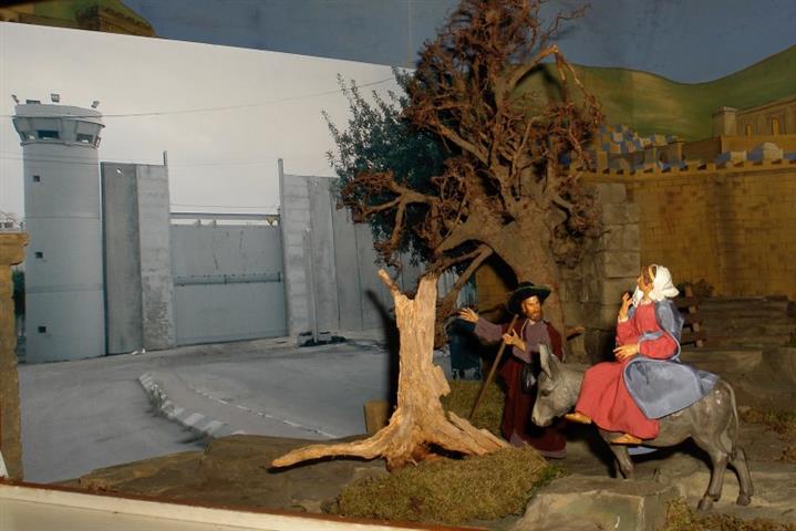
In June 2002, the Israeli government launched its policy of unilateral segregation between Israel and the Palestinian territory by creating a Segregation Zone on the Palestinian lands in the West Bank. The Zone cuts through the western part of the West Bank and runs from north to south grabbing the most fertile agricultural lands, isolating Palestinian communities in enclaves, undermining the territorial contiguity between the Palestinian villages and cities, grasping the natural resources and capturing most of the Israeli settlements.
In addition, Israel has de facto created an Eastern Segregation Zone without walls or fences but through control of access points along the Jordan Valley and the shores of the Dead Sea.This zone has a total area of 1664 Km2, representing 29.4 % of the West Bank and includes 43 Israeli settlements and 42 Palestinian localities.
Prepared by
The Applied Research Institute – Jerusalem
ARIJ