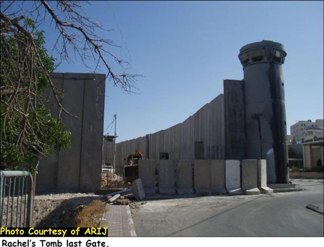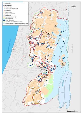
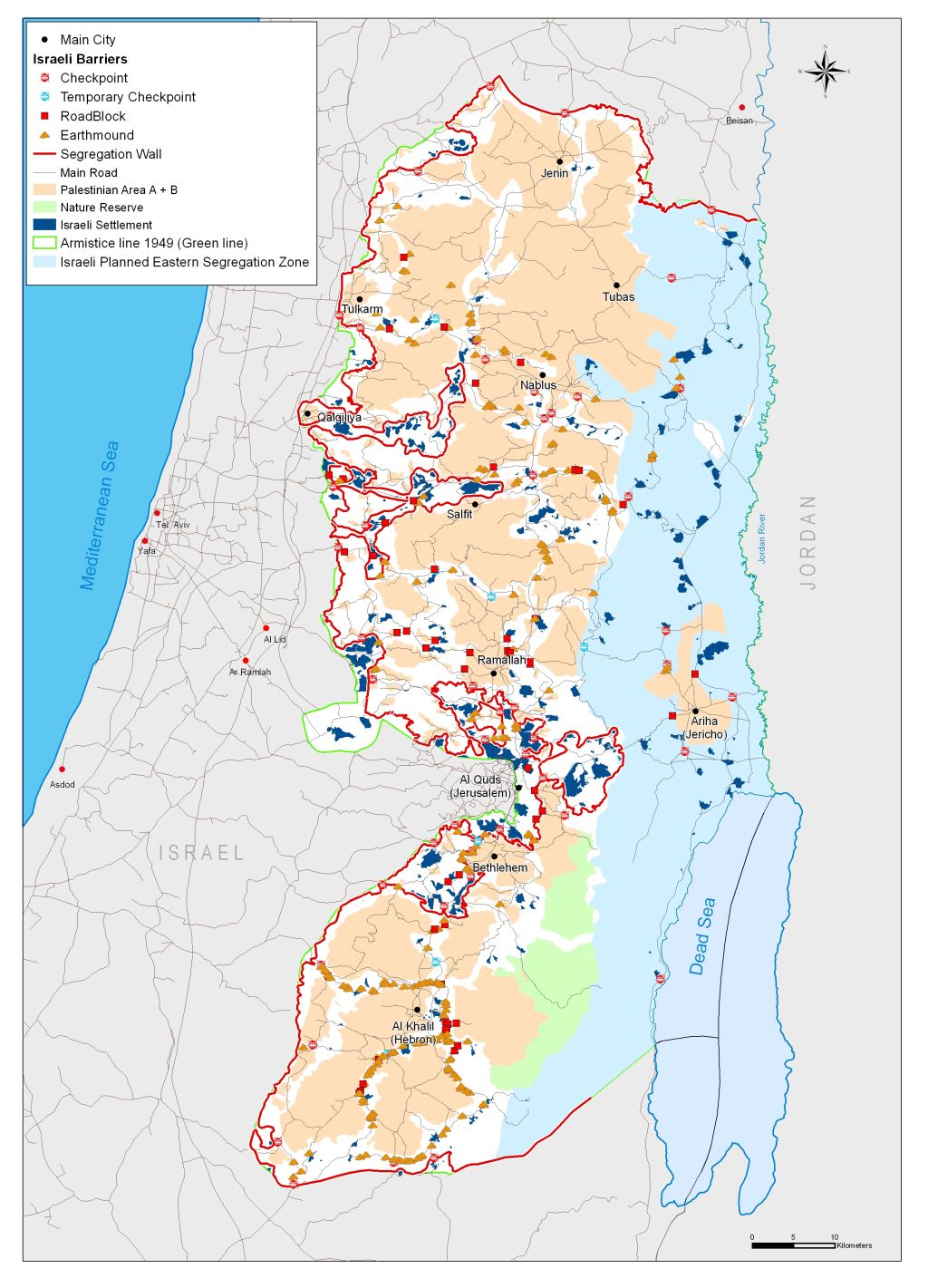
On April 30, 2006 the Israeli government approved a revised plan for the Segregation Wall in the West Bank. The new wall plan makes some small cosmetic changes in the route of the wall, but does not significantly alter the effects of the wall. The wallâ??s themes of segregation, isolation and ghettoization continue, with drastic results for Palestinian communities in the West Bank and Gaza Strip.
According to the revised plan, the Segregation Wall will run for 703 km in the West Bank. When complete, the wall will isolate 555 km2 of Palestinian land in the West Bank (approximately 10% of the total area 5661 km2) in the Western Segregation Zone between the wall and the 1949 Armistice Line (Green Line). Israel also maintains an Eastern Segregation Zone stretching over 1664 km2 (29.4% of the West Bank) along the Jordan Valley and the western shores of the Dead Sea. In total, the Segregation Plan appropriates at least 39.2% of the West Bank. See Map of the Segregation Wall
Click here to read Full Fact Sheet
Prepared by
The Applied Research Institute – Jerusalem
ARIJ