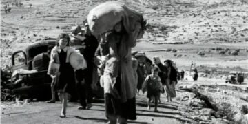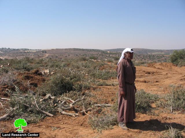
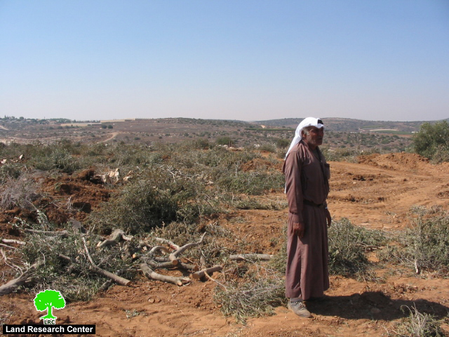
Photo 1: Deir Samit village: A Palestinian farmer standing in his
olive orchards destroyed by the Wall)
An introduction to the study area:
This study covers the Wall section between the town of Idhna and the village of Al Burj to the west of Hebron city with a total length of 20 km. Along this strip of land is located many Palestinian villages and Khirbets, of which, ten are affected by the Wall inception. They are, from north to south: Al Burj, Beit Mirsim, Beit Arrush Al Foqa, Beit Arrush At Tihta, Deir Al Asal Al Foqa, Deir Al Asal Atihta, Al Majd, As Sika, Beit Awa and Deir Samit. The total population of these ten villages is 25000 inhabitants (about 3200 nucleus families) who mostly dependent on agriculture and animal husbandry as main income (source: PCPS). The majority of the population is refugees who were dismissed from their lands in the western side of the green line when the war of 1948 was going on. So, the inception of the Annexation and Expansion Wall on their lands constitute a second disaster in their life. See Map 1

Description of the target agrarian land:
-
Most of the land is cultivated with olive tree which is considered a primary source of livelihood for quite many families;
-
It enjoys good productivity level as it is part of the Shephela (the western hilly area of Dura region with an average altitude ranging from 350-450 M above sea level);
-
For Irrigation, this area is mostly dependent on rain fall whose parentages decreases as we go south. A limited number of rain fed underground cisterns are existed in this area for irrigation purposes.
-
Most of the target land in this region has been classified by Oslo accords as zone C (under total Israeli security and civic affairs), therefore, no developmental agricultural projects have been allowed by the Israeli side.

Photo 2: Al Burj village: The path of the Wall passing inside an olive orchard
Impacts o f the Wall construction on the study area
-
Following the completion of the construction of the Wall in the year 2005, land owners and farmers were not allowed to tend their lands separated behind the Wall path. Crop yielding was coordinated with the Israeli occupation authorities last year, yet, not to satisfactory levels.
-
Israeli devastation and bulldozing acts are going on inside the lands separated behind the Wall which, consequently, have led to radical change in the lands marks of the area. New roads and passages were opened as well as new installations were setup as part of this devastation process.
-
These acts clearly uncover the real expansionist intentions of the Israeli authorities behind the Wall construction;
-
Often skirmishes take place between the Israeli army, on one hand, and inhabitants living in the vicinity of the Wall or shepherds, on the other hand.
-
Even, land owners and farmers who obtain pieces of lands at the eastern bank of the wall are prohibited from tending their lands by the Israeli army.
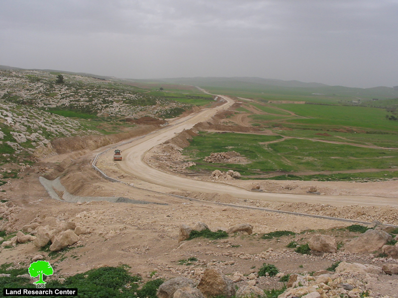
(Photo 3: Beit Mirsim village: Preparing the infrastructure for the Wall in spring, 2005)
Table 1
Land and tree losses inflicted by the Wall construction on the study area
|
Type of cultivation |
No. of dunums confiscated or separated |
No. of trees uprooted and destroyed |
No. of affected farmers and land owners |
|
Olive |
782 |
9364 |
00 |
|
Filed crops |
771 |
00 |
00 |
|
Grape and almond |
17 |
435 |
00 |
|
Uncultivated land |
1849 |
10017 |
236 |
Source: Ministry of Agricultural- Dura office
Table 2
Total Village area and classification of areas deducted by the Wall
|
|
Village area before the Wall |
Areas deducted by the Wall |
Percentage % |
|
Total villages' area |
60515 |
1849 |
3.1 |
|
Total cultivated area |
24550 |
1570 |
6.4 |
|
Total range land and forests |
10970 |
280 |
2.6 |
|
No. of cisterns and springs |
1036 |
15 |
1.4 |
Source: Ministry of Agricultural- Dura office
Wall Impact on animal husbandry
-
There are about 14917 head of sheep and goats in this region owned by 420 nucleolus families (about 13.1 % of total families) who totally depend on animal breeding as main income (source: Ministry of Agriculture – Dura Office).
-
Traditionally, shepherds in this region depend on animal breeding and grazing at border areas which have become inaccessible to them after the inception of the Wall.
-
Seasonal animal breeders who used to come from outside the area to settle and graze their cattle are now deprived of this merit.
-
About 100 grazing days per year have been lost in this area by the inception of the Wall causing heavy economic losses to animal breeders (source: Ministry of Agriculture – Dura Office).
-
This situation has increased the production costs as shepherds are obliged to buy fodder to compensate for the loss of grazing fields leading to a retreat in the number of animals and a decrease in income levels.
-
In addition, there is a setback in the exchange of trade with merchants from inside the green line because of the existence of the Wall.
-
Bee breeders are also affected by the Wall inception because of the loss of land on which bee cells were fixed.
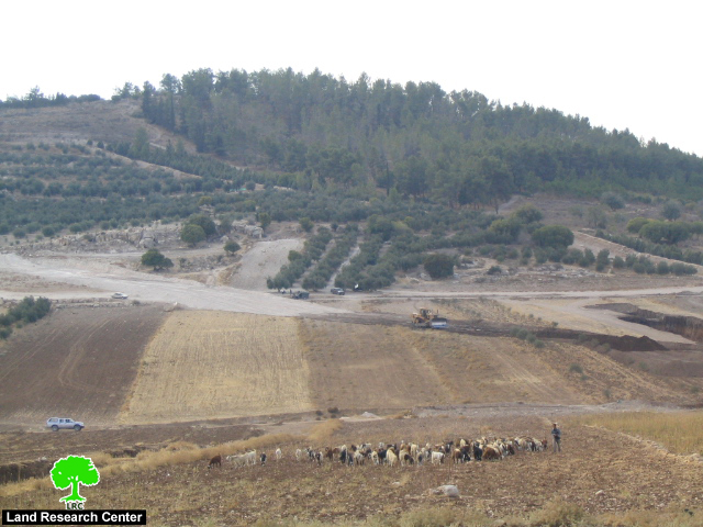
(photo 4: Al Majd village: in the foreground, a Palestinian shepherd grazing his cattle at
the Armistice Line, in background, an Israeli bulldozers leveling the land for Wall construction)
Prepared by
The Land Research Center
LRC