The Map accepted, the Road blocked !
The government of Israel recently accepted the 'Road Map' which calls for normalizing the Palestinian ...
Read moreThe government of Israel recently accepted the 'Road Map' which calls for normalizing the Palestinian ...
Read moreBackground: Soon after its occupation in 1967, Israel seized control over the Gaza strip ...
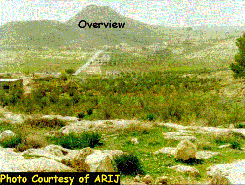
Read moreThe villages of Al-Khas and Al-Nu'man are located at the interconnection of the municipality ...
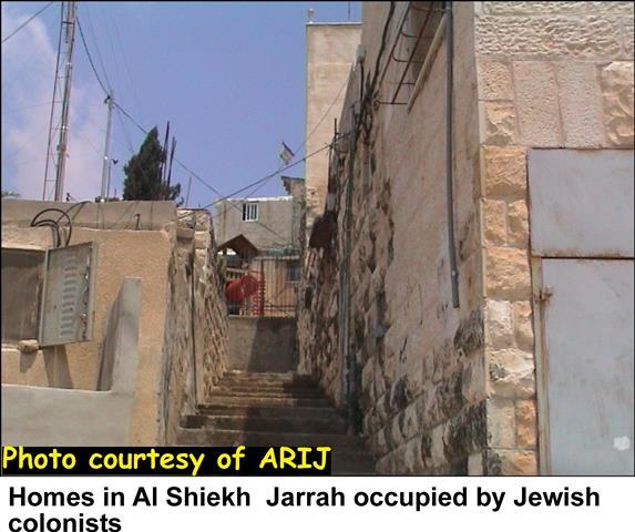
Read moreThe Jewish settlers in East Jerusalem are increasing each day their violations against the ...
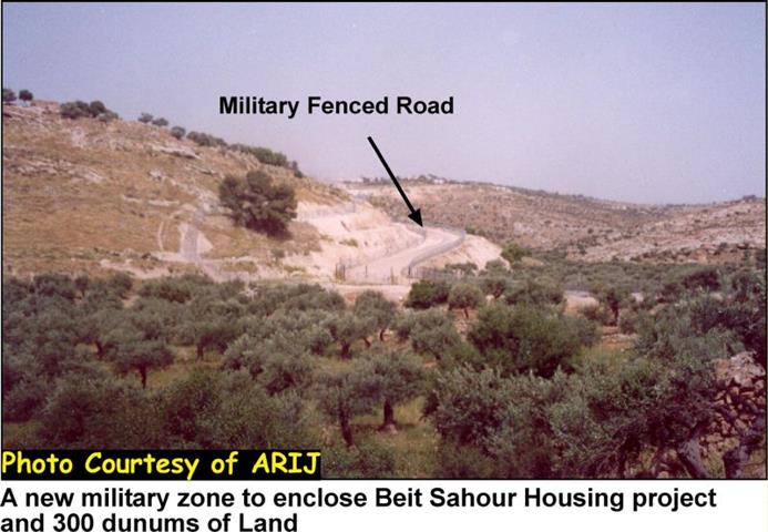
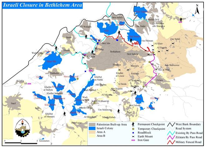
Read moreThe continuous Israeli actions that strangulate the district of Bethlehem slice more lands to ...
Read moreZa'tara 11-2-2002 Za'tara 2-6-2002 Za'tara 2-10-2002 ...
Read more