Yatta is one of the major rural communities in Palestine, with a population of approximately 30,000. It is also surrounded by several small communities which depend mainly on agricultural and livestock for living.
The Israeli colonization in the Yatta area started as early as 1981. Presently, three Israeli colonies, namely Ma'on, Susia and Carmel, have been established in the eastern parts of Yatta, with a total population of approximately 800 (Photo 1).1).
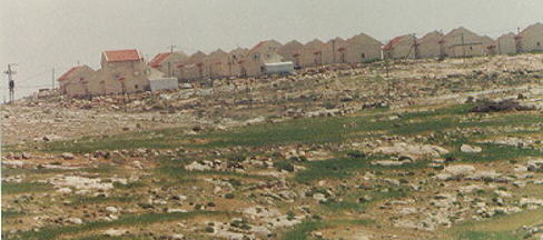
Photo 1: The Israeli colony of Mo'an, east of Yatta
Israeli Colonies East of Yatta
|
Israeli Colony |
Number of Families |
Population |
Founding Date |
Population Type |
Built-up Area (km2) |
|
Ma'on |
34 |
150 |
Jan- 83 |
Religious |
2.51622 |
|
Susia |
50 |
330 |
Sep- 83 |
Religious |
1.360425 |
|
Carmel |
42 |
300 |
Jan- 81 |
Religious |
4.84543 |
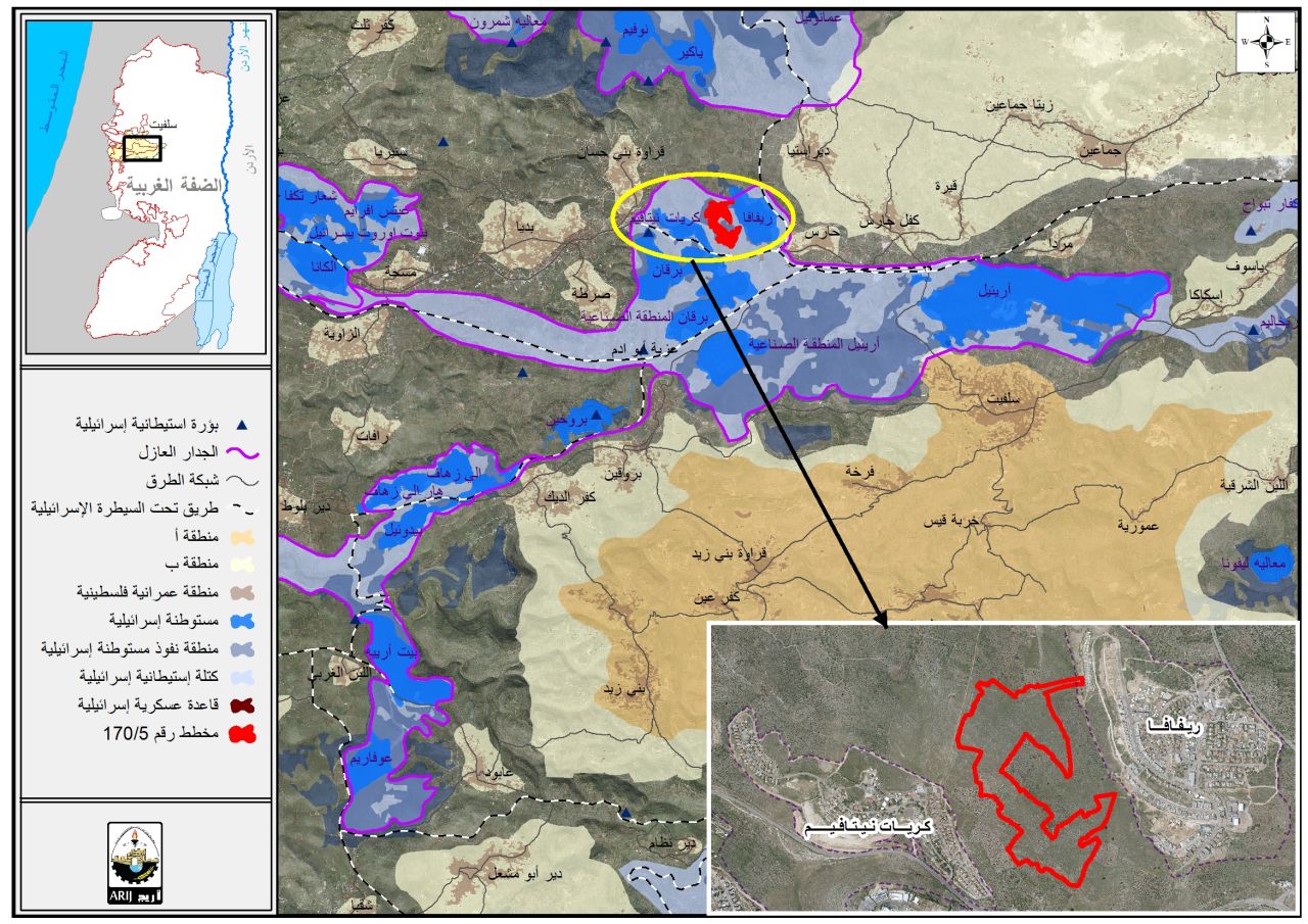
The lands used for building these colonies and also several by-pass roads are located within the village boundary of Yatta (Figure 1). They are also part of the main rangelands in Yatta which provide feed for Palestinia livestock. The closure of these lands not only deprive Palestinians from a major source of income but threatens the biodiversity in that area. The construction of these colonies has also affected the growth of Palestinian communities in the eastern direction. Israel denied Palestinians in this area permits to build houses or expand existing ones. ). They are also part of the main rangelands in Yatta which provide feed for Palestinia livestock. The closure of these lands not only deprive Palestinians from a major source of income but threatens the biodiversity in that area. The construction of these colonies has also affected the growth of Palestinian communities in the eastern direction. Israel denied Palestinians in this area permits to build houses or expand existing ones.
Israel has recently started the construction of a fourth colony to the east of Ma'on (Figure 1). This colony will be built on natural grazing areas. To make space for this colony, on 3 January 1997, Israeli settlers and army uprooted two hundred olive trees claiming this area as a state land. Israeli settlers also destroyed most of the natural occurring caves in the area which have been used by Palestinian herders to house their goats and sheep. ). This colony will be built on natural grazing areas. To make space for this colony, on 3 January 1997, Israeli settlers and army uprooted two hundred olive trees claiming this area as a state land. Israeli settlers also destroyed most of the natural occurring caves in the area which have been used by Palestinian herders to house their goats and sheep.
Figure 1: Map showing Yatta and the three Israeli colonies
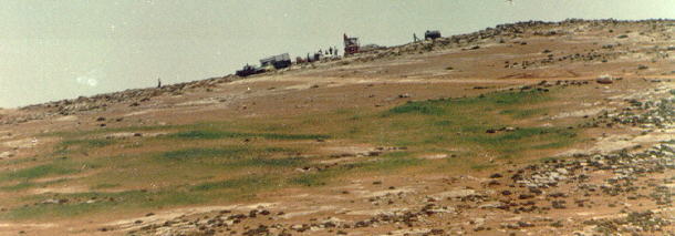
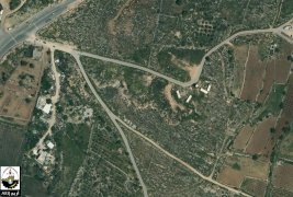
Photo 2: Israeli construction workers at the site of the new colony
The Israeli colonies in this area are exploiting the Palestinian natural resources as evident by the number of dairy farms that benefit from the rich grazing resources in the area (Photo 3). ).
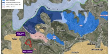
These colonies, including the new one, will serve as one stone block in the wall of colonies which will separate Yatta communities from the remaining part of the Eastern Slopes. Within this framework, Israel in April 1997 started constructing 3 km long of bypass roads to link the Israeli colonies in that area together and seal off the Eastern parts from Yatta village boundary (Figure 2). ).
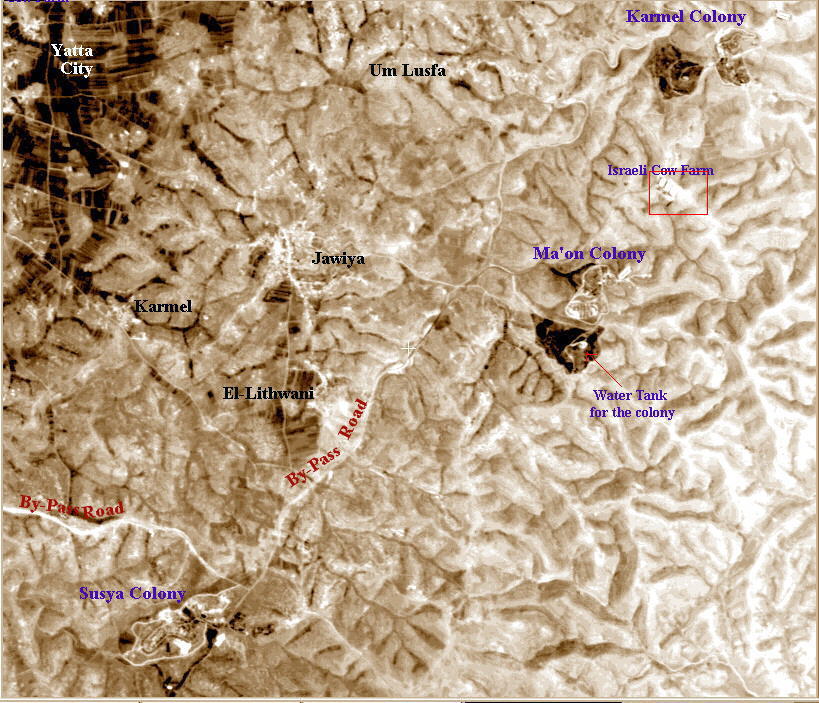
Figure 2: Satellite image showing the Israeli activities east of Yatta
Prepared by:
The Applied Research Institute – Jerusalem