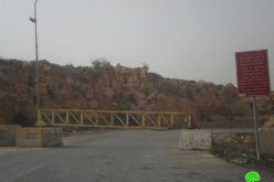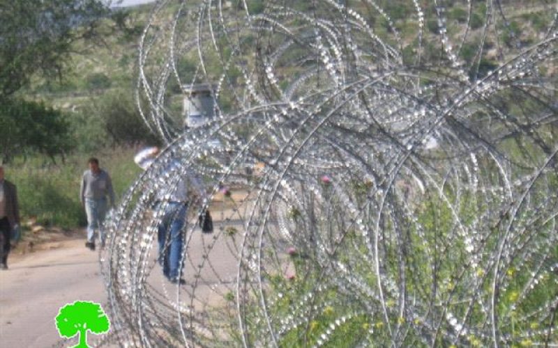
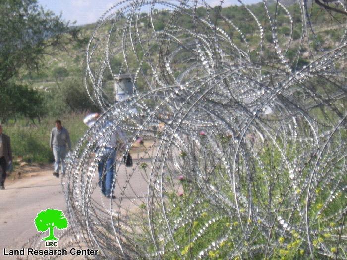
Photo 1: barbed wires besieging the Enav checkpoint on the main
road between Tulkarem and Nablus
The Israeli occupation army has recently intensified its policy of the cantonization of Palestinian areas in the northern districts of the West Bank under the pretext of security. Apart from the other forms of closure incarnated in the permanent and flying checkpoints whose number totals hundreds, the Annexation and Expansion Wall, the iron gates that block the main entrances to Palestinian towns and villages, the army bulldozers have recently resumed their vicious task of blocking with earth mounds, rocks, trenches and cement blocks the remaining detour passages and alternative roads which are used by Palestinians struggling to carry on with their daily life matters.
This report will shed light on some facets of the Israeli repressive closure policies in the district of Tulkarem, particularity on the road that links between Tulkarem city and the village of Nazlet Isa.
Location, population and area
The village of Nazlat Isa, which borders the Green Line, is located 18 kilometers to the north of the city of Tulkarem. It's population totals 2430. It's surface land is 2137 dunums, of which 930 dunums are used for agricultural purposes, 383 as built up area and the remaining 824 dunums were expropriated by the Wall.
The village is bordered from east by Qaffin, from west by the Wall and Baqa Al Gharbiya, from north by the Wall and from south by Baqa Ash Sharqiya.
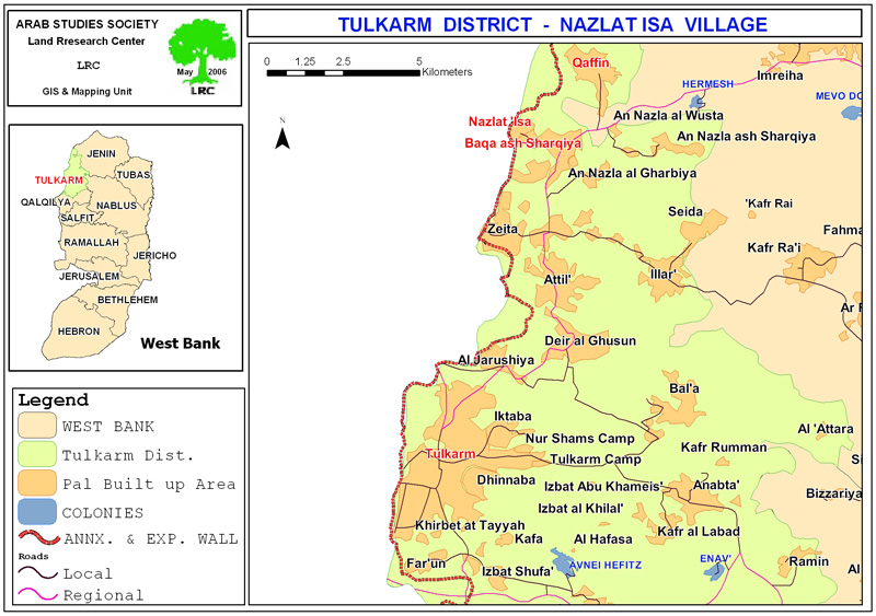
Map 1: The location of Nazlet Isa village- Tulkarem
Market destruction
In September, 2003, and as a means of continuous economic pressure against the Palestinian people, the Israeli occupation army demolished the whole commercial market that existed in the village and served as on of the main trade points between Israel and West Bank. About 180 commercial stores in the market were wiped out by the Israeli bulldozers. By doing so, Israeli forces destroyed the income source of about 12,000 families that used to work and /or benefit from this market from the village and surrounding areas. These forces, also, transformed 97% of the residents of the village into unemployed as well as destroying commercial life in the village raising unemployment and poverty to un-precedent levels eve since.
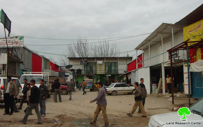
Photos 2 & 3: Nazlet Isa market before and after destruction
Road blockade
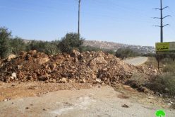
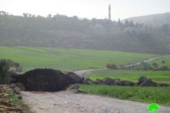
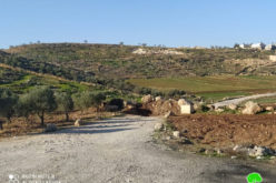
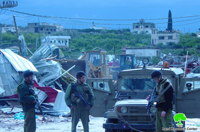
On April 12, 2006, the Israeli occupation army's bulldozers blocked with earth mound and rocks the main road connecting between the village of Nalzet Isa and Tulkarem city, and the roads leading to Baqa Ash Sharqiya and Qaffin.
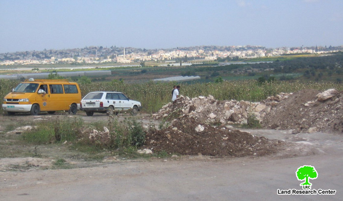
(Photo 4: The road to Nazlet Isa is blocked with earth mounds and rocks)
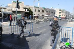
On the other hand, soldiers manning the Enav crossing point on the main road between Tulkarem and Nablus turn back students, teachers and employees going to Tulkarem from other governorates, and, at the same time, didn't allow the students, teachers employees from Tulkarem to go to other districts in the West Bank.
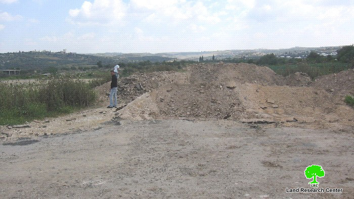
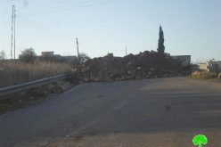
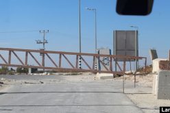
(Photo 5: The road to Qaffin and Baqa Ash Sharqiya is bulldozed
and closed with earth mounds)
Prepared by
The Land Research Center
LRC