
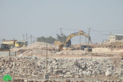
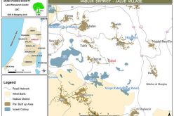
Driving from Hebron towards the West Bank's southern border, one notices many changes being made by the Israeli army and Jewish settlers alike. The bulldozing of land, which seems to have become a standard practice in the Gaza Strip, is also much in evidence around Hebron. Along Road 60, between the Palestinian localities of Al Fawwar and Khirbet Karma (see map), swathes of bulldozed agricultural land can be seen; see photo. At some points, the army has dug deep ditches that run along side the main road; see photo. The role of these trenches is to prevent villagers from reaching the road by car. The blockades imposed on these villages consist of piles of concrete and earth on all the roads leading to them. This has lead villagers to create new dirt tracks across fields in order to enter and exit their localities. But the digging of this ditch makes it totally impossible for cars to reach the main road by any route.
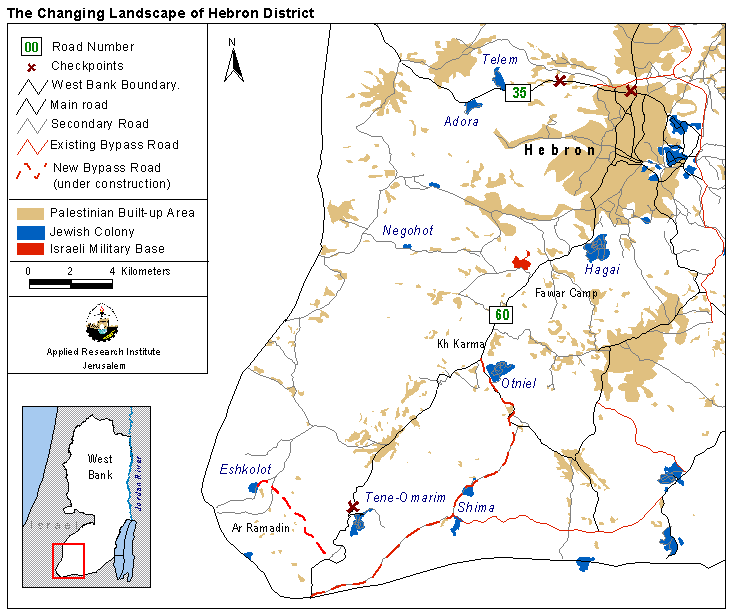
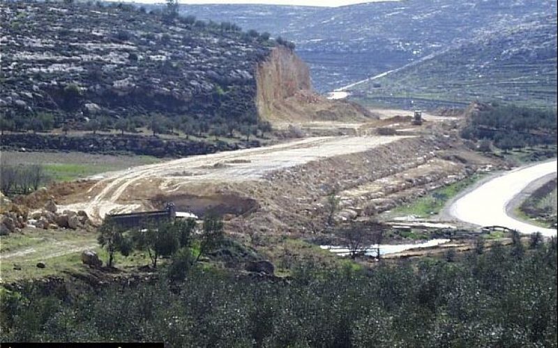
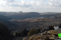
In addition to these new changes that have sprung up during the Intifada, the old changes also continue. Settlements are expanding and by-pass roads continue to be built, seemingly oblivious to the current negotiations. Negohot settlement is expanding as are Adora and Telem. However fieldworkers could not reach these settlements since Palestinian cars are currently forbidden from traveling along route 35; see map. Hagai settlement has begun to mark out a new slip road;. Hagai settlement has begun to mark out a new slip road; see photo. Near Otniel settlement a huge piece of the hillside is being carved out to make way for a road connecting this settlement to Israel. This by-pass runs for much of its planned route right next to the existing Palestinian road. Large parts of the countryside are being destroyed in order for the settlers to be able to reach Israel without having to share a road with Palestinians; see photo.
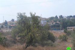
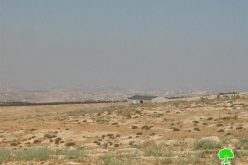
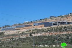
Carrying on further south, the relocated checkpoint near Tene-Omarim settlement can be found; click for more. This new checkpoint hinders access to the area of the West Bank to the south including the Bedouin hamlets in the region of Ar Ramadin. Not far beyond this checkpoint is another new by-pass road. This road is currently incomplete and does not yet connect with the main road. It is clearly intended to provide Eshkolot settlement with a direct connection to Israel without having to pass any Palestinian communities. This settlement also continues to expand with a number of new buildings pushing the settlement ever closer to the 1949 Armistice Line. The photo below shows the new building work behind the older buildings and west of the settlement, with Israel's coastal plane in the background photo.

These changes are being unilaterally enforced by Israel upon the people of Hebron district. Again, these moves ignore the process of negotiations and highlight the will and ability of Israel to make changes that disregard, or are targeted to make life harder for, Palestinians.
With thanks to the Land Defense Committee, Hebron District for providing us with the necessary information.
Prepared by:
The Applied Research Institute – Jerusalem


